Precision Reality Capture and Geospatial Solutions
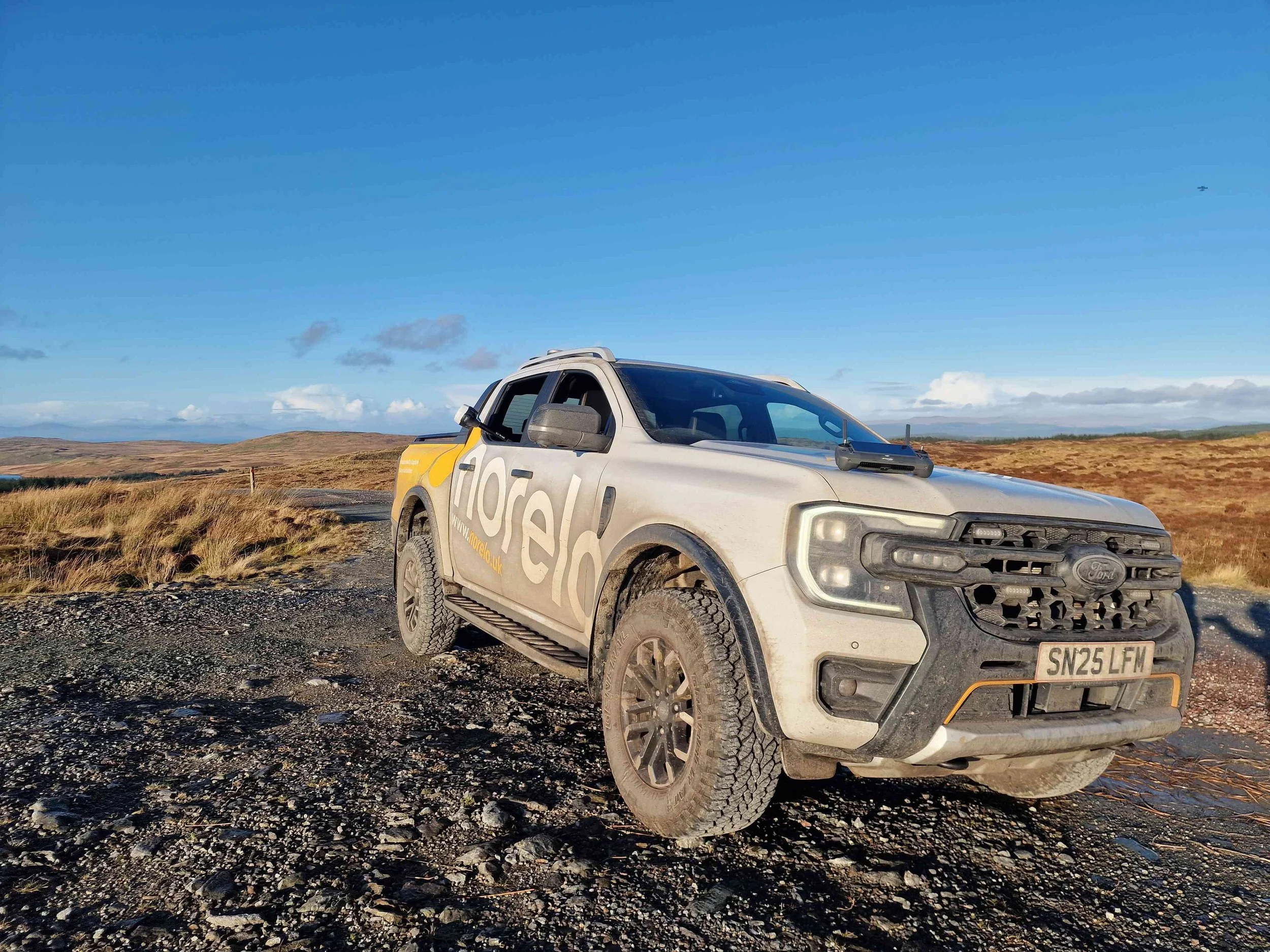
Norelo delivers high-accuracy survey and inspection data in environments where traditional access is challenging or unsafe. Through a combination of UAV technology, LiDAR, and professional surveying expertise, we provide reliable information that enables smarter, faster, and safer decision-making.
ABOUT NORELO
Leading Geospatial Consultants
With extensive experience spanning multiple sectors within the Architectural, Engineering, and Construction (AEC) industry, Norelo collaborate with a diverse range of clients. Working closely with building surveyors, architects, property managers, civil engineers, energy consultants, public bodies, and many other professionals to support projects from inception to completion.
Norelo’s deep understanding of industry-specific challenges enables delivery of bespoke solutions that meet the unique needs of each client. Whether it's a large-scale infrastructure project or a detailed building refurbishment, Norelo have the expertise to assist.
Our Valued Clients
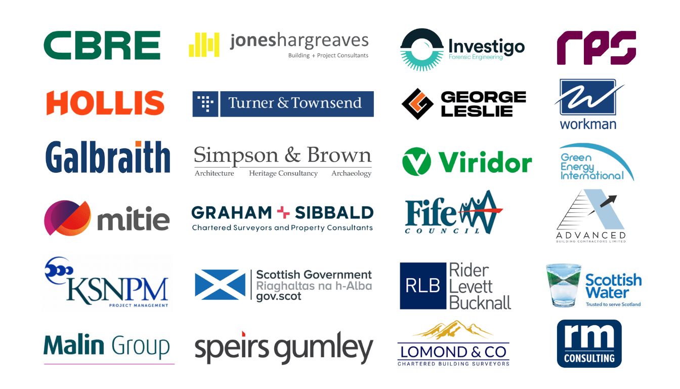
Partners Across Construction, Architecture, & Engineering
At Norelo, we are proud to work with some of the UK and Ireland’s leading Building Consultancys, Architects, Engineers, and Construction Firms. Our clients trust us to deliver accurate measured surveys, high-resolution LiDAR scans, and drone-based photogrammetry that support every stage of their projects, from design and planning to construction and asset management. By combining datasets from terrestrial scanning or total stations, to drone surveys and LiDAR technology with meticulous attention to detail, we help our partners achieve precise data, smoother workflows, and reliable results on every site.
KSNPM have been using Norelo for years for a wide range of data collection services to accompany our surveying and project management business. The photogrammetry and point cloud surveys are second to none which is why we continue to use them time and time again. Norelo cater to reactive project times and have a quick turn around on delivering the results. The team are incredibly professional and friendly, we highly recommend their services, and they offer top-tier CPD sessions for your workplace. 5 stars!
KSN Project Management
EXECUTIVE TEAM

We used Norelo for drone surveys as part of a large group of building surveys. The inspection period was very short and Norelo had no issues in meeting this challenging deadline. Magnus is readily contactable and easy to work with. The output quality is also very good.
James Taylor
ASSOCIATE DIRECTOR
The technological advancements in assisting contractors and surveyors with accurate data and working plans in the preconstruction phase has been incredible in the last few years. The level of detail and accuracy that help ensure issues and measured drawings can be provided from areas not normally accessible for a low cost before works commence is making a massive difference in our efficiency. Magnus and his team are the best at delivering these products to assist us in our operations.
Fraser Cattanach
MANAGING DIRECTOR
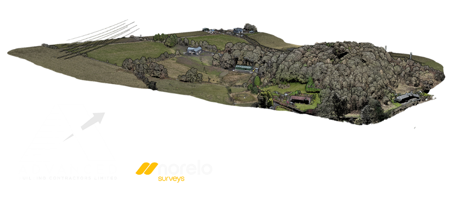
Our building consultancy regularly engages Norelo for large and/or tricky drone and photogrammetry surveys, which saves our design team survey and drawing time. Magnus and his team are very quick to respond to instructions, and also in submitting their deliverables. We would not hesitate to recommend Norelo to other clients or professionals.
Scott McPherson
ASSOCIATE DIRECTOR

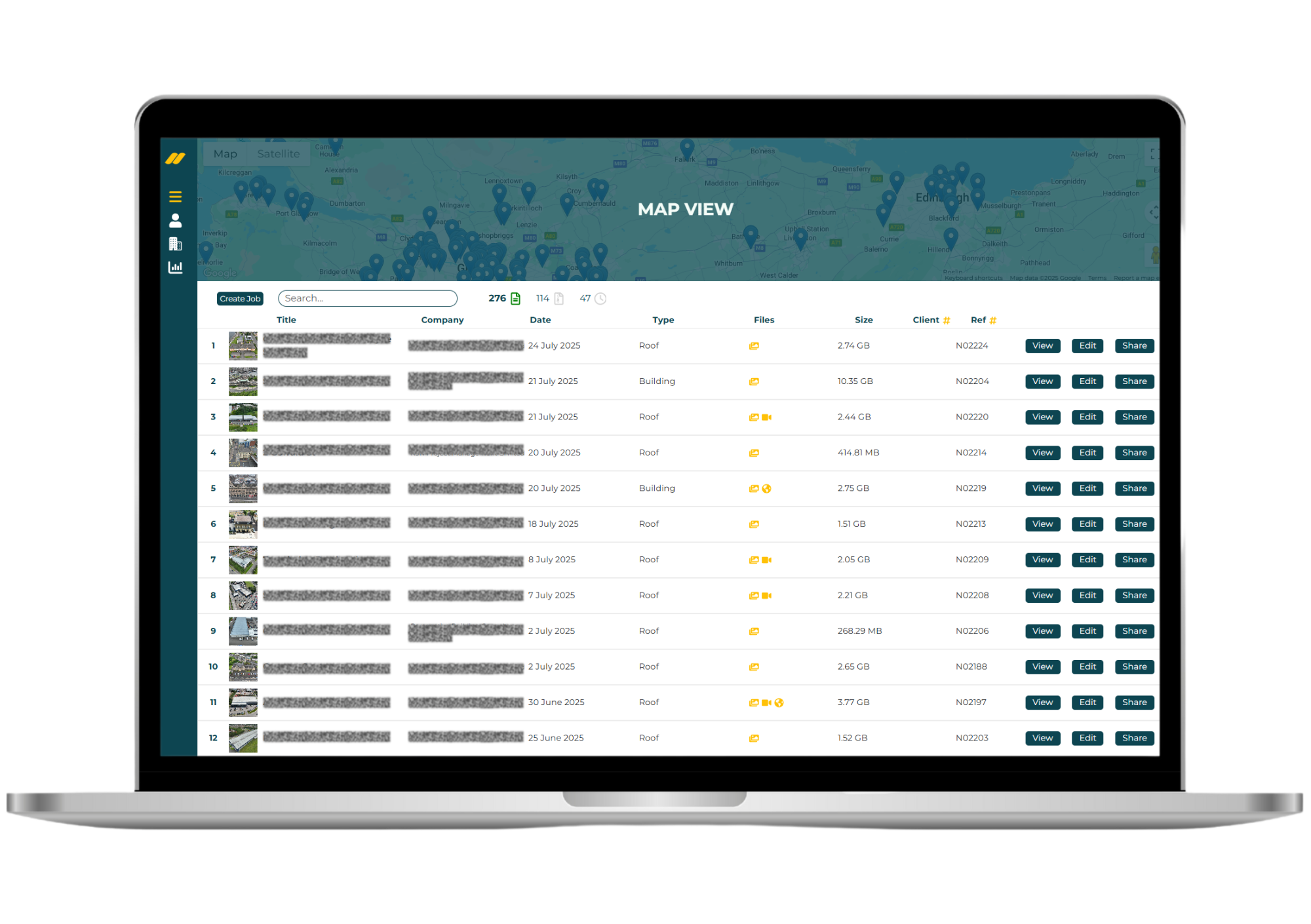
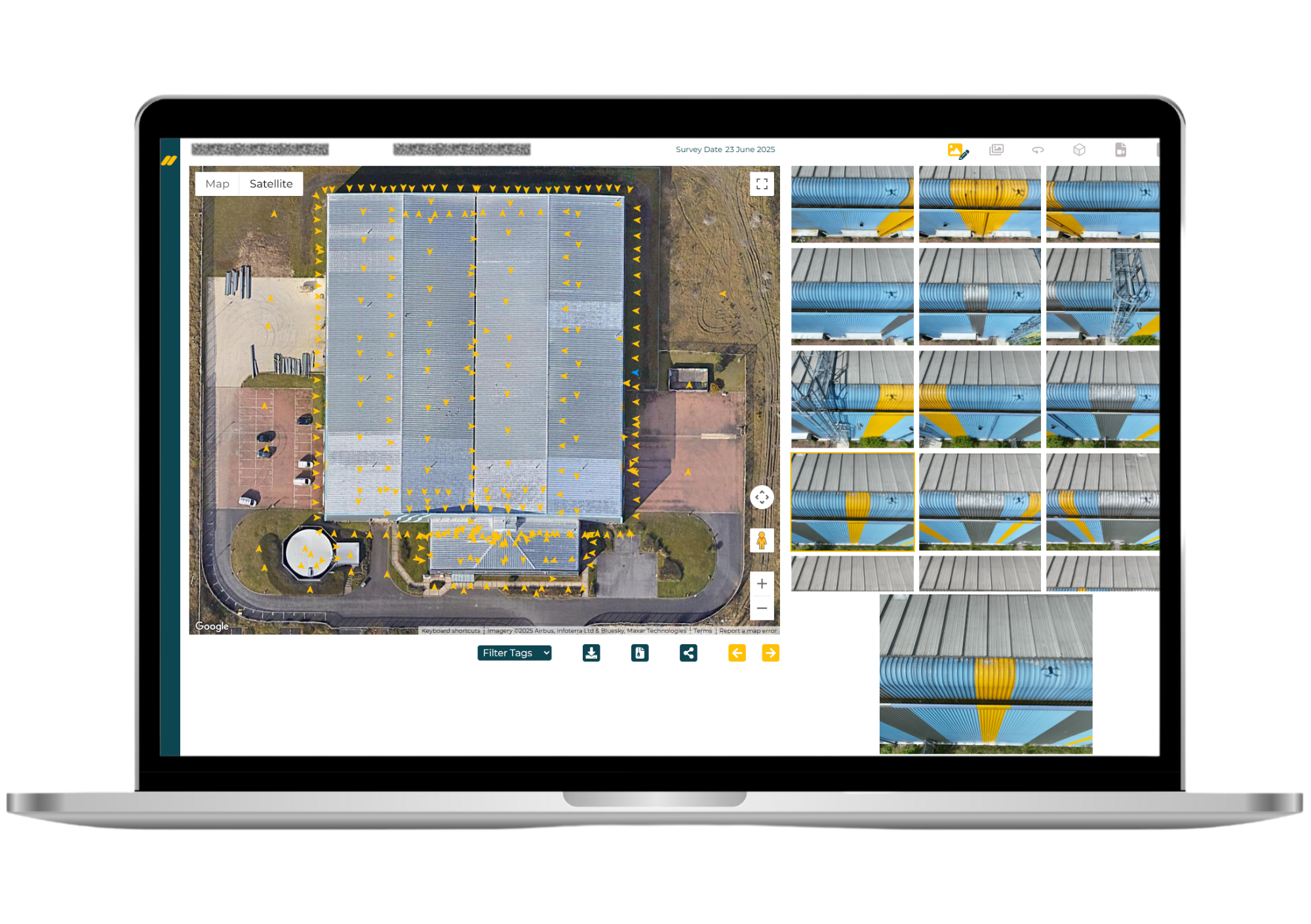
Carried out a survey on the roof of our industrial site. Very reliable contractor, communicative and professional. Very happy with the end result and the usability of the asset inspection software.
Michael Carr
OPERATIONS MANAGER
Norelo Ltd, is dedicated to delivering cutting-edge surveying solutions across the United Kingdom. Norelo’s team of seasoned professionals combines technical expertise with innovative technology to provide accurate, high-quality data, tailored to your project requirements.
WANT TO KNOW MORE?
Norelo Ltd is committed to maintaining the highest standards of safety, quality, and compliance. Accreditations include:
Civil Aviation Authority (CAA): Approved for commercial drone operations, ensuring compliance with aviation regulations.
SafeContractor: Recognised for excellence in health and safety management.
Cyber Essentials: Certified for cybersecurity practices, safeguarding client data and information.
ACCREDITATIONS
EQUIPMENT
Advanced Technology and Equipment
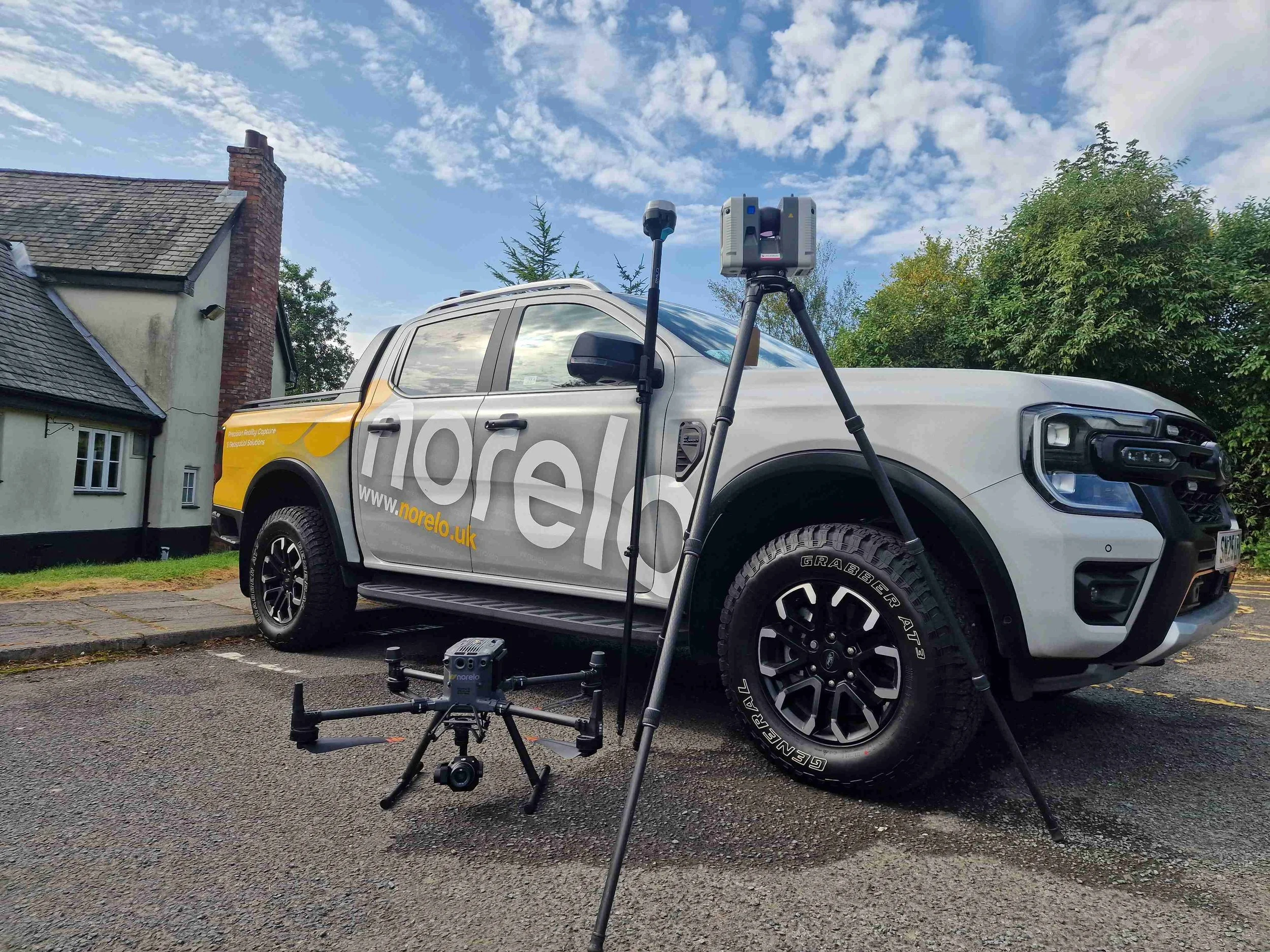
Utilising state-of-the-art equipment is at the heart of Norelo’s service delivery. Technological capabilities include:
3D Laser Scanners: For precise 3D data capture of structures and environments.
Precision GPS Total Stations: Ensuring accurate geospatial measurements and positioning.
Small Unmanned Aircraft/ Drones: Equipped with high-resolution cameras and sensors for aerial surveying.
Advanced Software Tools: Processing data into 2D CAD drawings, 3D Revit and Photogrammetry models, facilitating seamless integration into client workflows.
CLIENT PORTAL
Site List
Defect Analyse
Geolocation
Image Gallery
Panoramic Viewer
3D Model Viewer
START YOUR PROJECT
Email: Info@norelo.uk Call: 0141 353 9557

